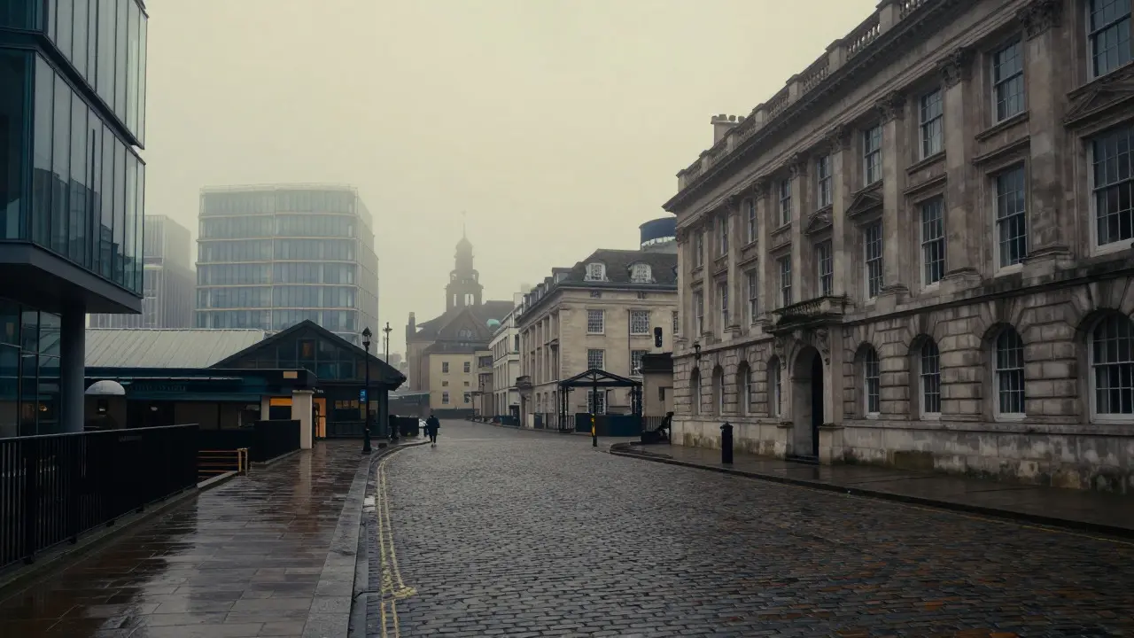
Walking through the City of London today, you might pass a modern glass skyscraper or a bustling coffee shop without realizing you are standing on ground that shaped some of the most famous stories in English literature. Charles Dickens is the Victorian novelist whose works provide the most detailed map of 19th-century London life. He didn't just write about the city; he lived it, breathed its fog, and documented its streets with such precision that readers can still trace his footsteps today. If you want to understand how Dickens viewed the capital, you need to look beyond the grand monuments and focus on the specific neighborhoods and real sites that appear in his novels.
Why Dickens’ Map of London Still Matters
Dickens spent decades walking these streets as a reporter, a lawyer’s clerk, and a writer. His descriptions are not just artistic license; they are archaeological records. When he describes the mud of Southwark or the opulence of Mayfair, he is giving us data points about social class, infrastructure, and daily life in the 1830s to 1870s. For modern visitors and history enthusiasts, this creates a unique opportunity: you can verify his words against the physical reality of the city. It turns a reading list into a walking tour.
The South Bank: Fog, Filth, and Fagin’s Hideout
If there is one area that defines the gritty side of Dickensian London, it is the South Bank, specifically the district around Borough Market and the old tanneries. In Oliver Twist, the criminal mastermind Fagin operates out of a house near here. While the exact building is gone, the atmosphere remains palpable in the narrow lanes of Bermondsey and Walworth.
- Borough Market: Mentioned frequently in Bleak House and Dombey and Son, this market has been operating since the 12th century. Dickens used it to illustrate the chaotic energy of the working-class south.
- Southwark Cathedral: Appears in A Tale of Two Cities (though set partly in Paris, the London scenes anchor here) and other works as a place of refuge or reflection.
- The Old Tannery District: Now part of the Tate Modern complex, this area was known for its stench and poverty, which Dickens vividly described in Oliver Twist.
When you walk along the river here, you are standing in the same low-lying areas where cholera spread rapidly due to poor sanitation-a key theme in Bleak House.
Chancery Lane and the Legal Labyrinth
No discussion of Dickens’ London is complete without mentioning Chancery Lane. This street was the heart of the legal world, and Dickens, who worked as a law clerk, knew its frustrations intimately. The Court of Chancery, located nearby, was infamous for its slow proceedings, a critique central to Bleak House.
| Location | Novel Reference | Current Status |
|---|---|---|
| Chancery Lane | Bleak House, Little Dorrit | Active law courts and offices |
| The Temple Church | Barnaby Rudge | Historic church, still active |
| Fleet Prison | Little Dorrit | Site now under King Street; memorial plaque exists |
The Fleet Prison, mentioned in Little Dorrit, was a debtors' prison. Its ruins were demolished in the 19th century, but the location is marked today. Walking from Chancery Lane to the Temple gives you a sense of the cramped, crowded nature of the legal quarter, where barristers and clerks lived in close proximity to their work.
Mayfair and Belgravia: The World of Wealth
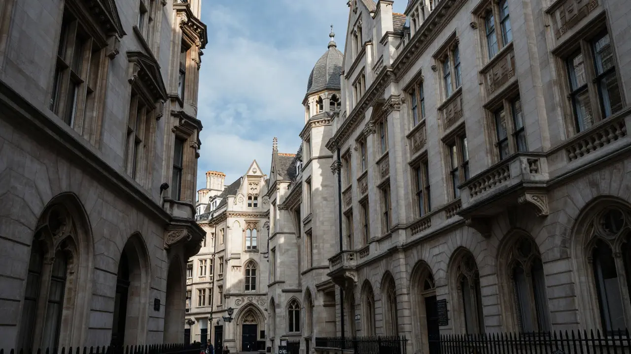
To balance the grimy South Bank, Dickens also mapped the wealthy West End. Mayfair and Belgravia represent the upper crust of society. These areas feature prominently in David Copperfield and Great Expectations. The contrast between the mud of Southwark and the marble floors of Mayfair is a core narrative device in his work.
- Pall Mall: A fashionable thoroughfare mentioned in Dombey and Son as a place for leisurely walks by the elite.
- Hanover Square: Associated with high society gatherings and the homes of wealthy characters in Bleak House.
- Kensington Gardens: While technically in Kensington, it serves as a backdrop for several scenes involving family outings and social status displays.
Today, these neighborhoods are among the most expensive in Europe. Yet, if you look at the architecture, you can see the Georgian townhouses that would have housed the aristocracy Dickens wrote about. The silence and order of these streets stand in stark contrast to the noise and chaos he depicted in the East End.
The East End: Poverty and Industry
The East End, including Shoreditch, Bethnal Green, and Whitechapel, was the industrial engine of London. Dickens portrayed this area as a place of extreme poverty, overcrowding, and hard labor. In Hard Times, though set in Coketown, the inspiration is clearly drawn from the industrial landscapes surrounding London’s eastern fringes.
Specific sites include:
- Spitalfields Market: Once a hub for fruit and vegetable traders, it appears in various works as a place of commerce and cultural diversity. Today, it is a vibrant market and tourist spot, but the historic buildings remain.
- Whitechapel Road: The main artery of the East End, featured in Oliver Twist and later in Sherlock Holmes stories. It connects the City to the docks.
- The Docks: While many docklands have been redeveloped into Canary Wharf, the original quaysides in Wapping and Blackwall still exist. These were crucial for the trade that funded the empire and the poverty that fueled Dickens’ social commentary.
How to Experience Dickens’ London Today
You don’t need a time machine to feel the weight of these stories. Here is a practical approach to visiting these sites:
- Start in the City: Begin at St Paul’s Cathedral, which overlooks the Thames. From there, walk to Chancery Lane to understand the legal backdrop.
- Cross to the South Bank: Take the Millennium Bridge to reach Borough Market. Read the plaques describing the history of the area and imagine the smells and sounds Dickens described.
- Explore the East End: Visit Spitalfields Market and walk along Whitechapel Road. Notice the mix of old warehouses and new developments, reflecting the ongoing transformation of the area.
- End in Mayfair: Finish your day in the quieter, wealthier streets of Mayfair. The contrast will give you a full picture of the social divide Dickens so effectively highlighted.
Keep in mind that while the buildings change, the geography remains. The river Thames still divides the city, and the hills and valleys that dictated the flow of traffic and pollution in the 19th century still influence the urban landscape today.
FAQ
Which Charles Dickens novel features the most London locations?
Bleak House is often cited as having the densest concentration of specific London locations, particularly in Chancery Lane and the surrounding legal districts. However, Oliver Twist provides the most vivid descriptions of the South Bank and East End slums.
Is Fleet Prison still visible today?
The physical structure of Fleet Prison was demolished in the 19th century. Today, the site is covered by King Street, but a memorial plaque marks the approximate location of the prison walls.
Can I visit the house where Dickens lived?
Yes, you can visit Gad's Hill Place in Kent, where Dickens lived for many years. In London, he lived at Tavistock House in Bloomsbury, which is now a private residence but has a blue plaque outside. His final home, 48 Doughty Street, is also marked with a plaque.
What is the best way to combine literary sightseeing with general tourism?
Group visits by neighborhood. For example, combine a visit to the British Museum with a walk through Bloomsbury, where Dickens lived and worked. Or pair a visit to Tower of London with a walk along the South Bank to see the sites referenced in Oliver Twist.
Are there guided tours for Dickens’ London?
Yes, several companies offer walking tours focused on Dickens’ life and works. These tours typically cover the major sites in the City, South Bank, and Bloomsbury. They provide context that enhances the experience of seeing the physical locations.